Conservation of World Heritage Wet Tropics Bioregion Vital Ecological Corridors is essential for endangered species.
In the Kuranda Region there is a long list of Federally listed and IUCN listed endangered species: EPBC report 4881.
Our combined responsibility as the current custodians is to preserve the biodiversity and nature of this place.
The 3 Main Threats to Endangered Species
- Habitat loss (deforesting, degrading and developing ‘primary essential habitat’ land, no matter the previous land usage)
- Predatory animals (domestic pets and feral animals)
- Traffic (from human populations)
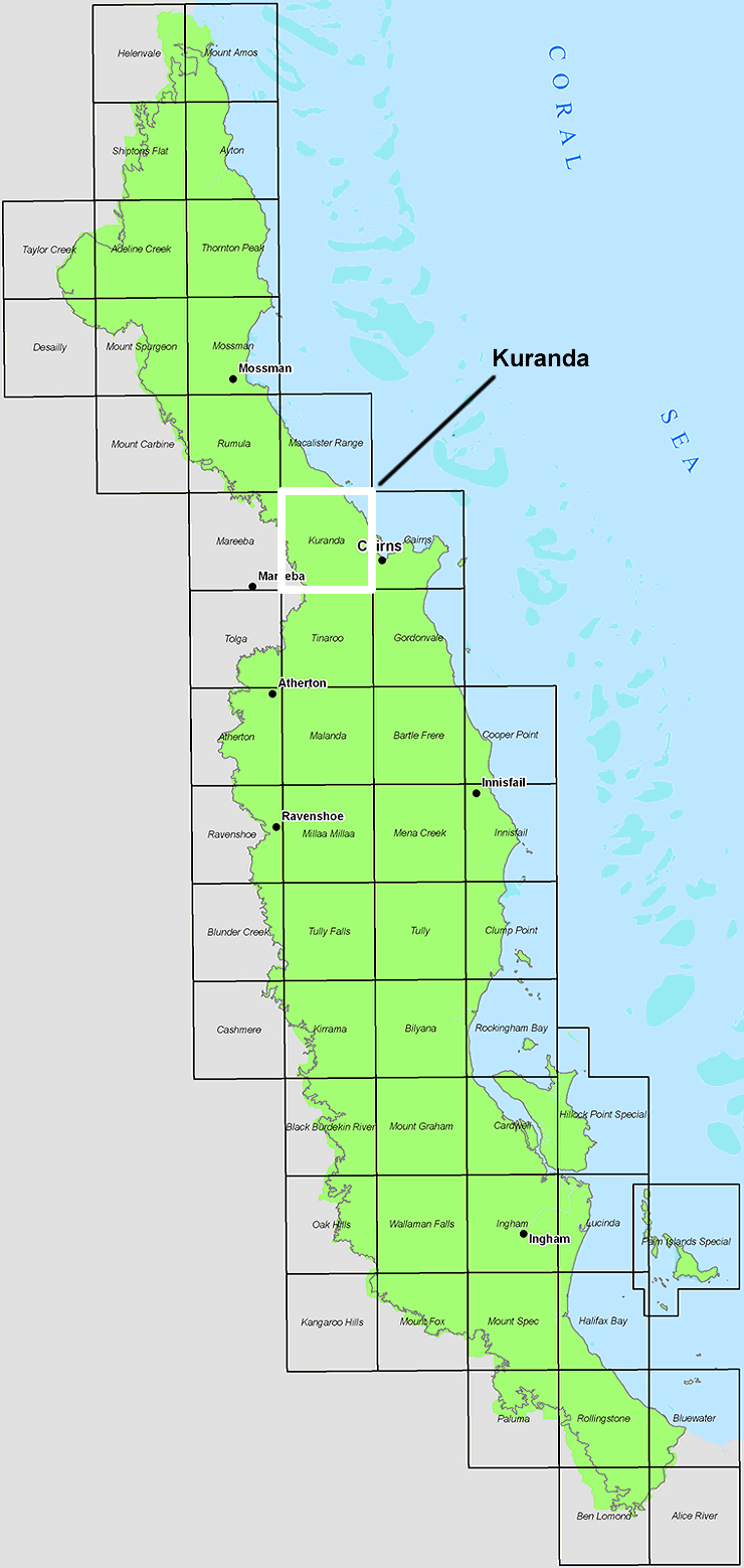
Large Rural Titles are the grey ones zoned RURAL on our Planning Scheme Zone Maps. Rural Residential zones are purple: subdivisions of historically zoned Large Rural Titles. MSC-2016-Zone-Map-Kuranda | MSC-2016-Zone-Map-Koah | MSC-2016-Zone-Map-Koah-South | MSC-2016-Zone-Map-Speewah | MSC-2016-Zone-Map-Mona-Mona
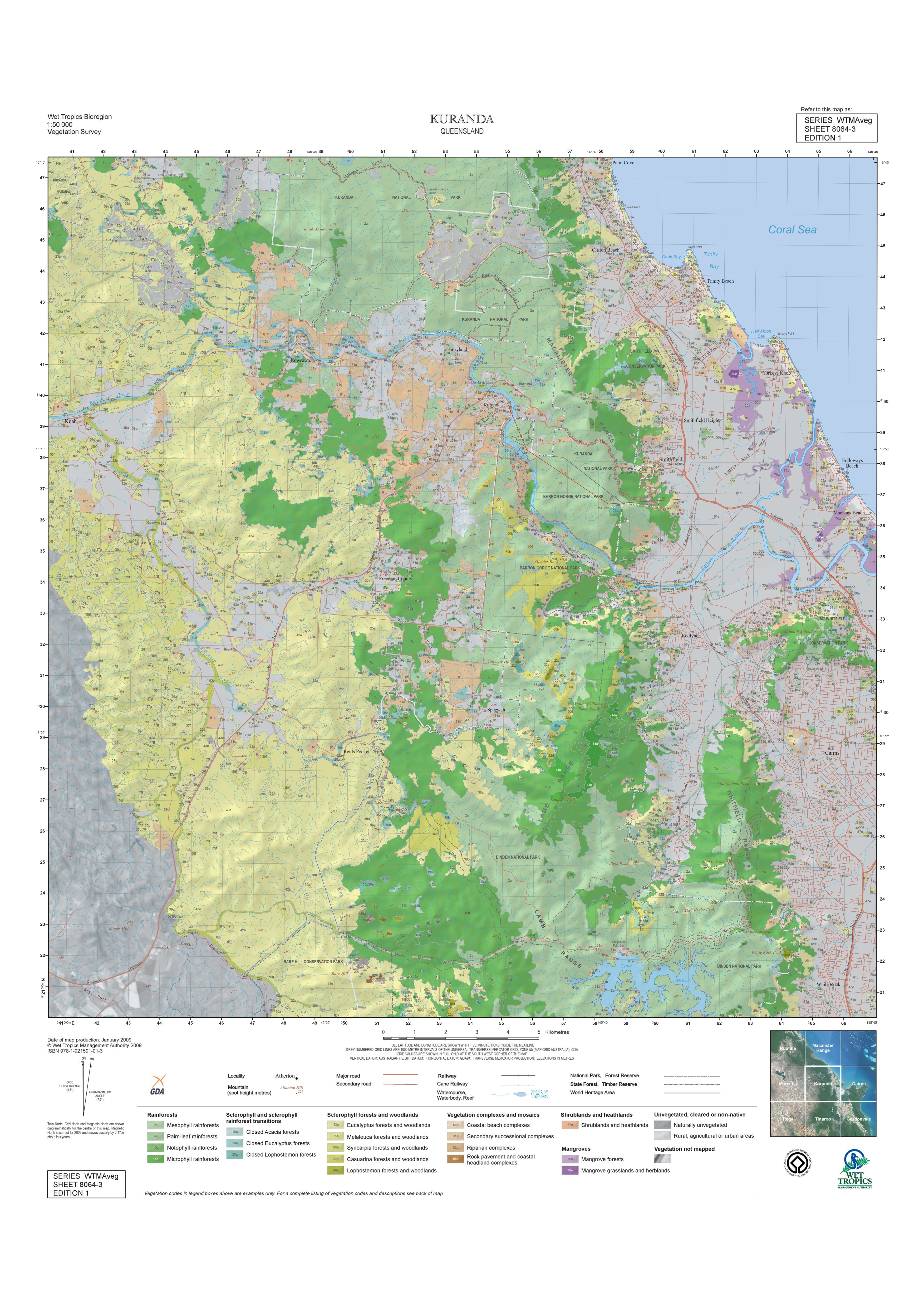
We are creating a Future Land Use Management Map of our region based purely on conservation values, ie. main aim is to preserve the ecologically significant Wet Tropics Bioregion Vital Ecological Corridors: Clohesy Ecotone, Kuranda Envirolink, Bundarra and Fairyland. These broad “forest paths” form the bridge that joins the Daintree in the north and Mission Beach in the south. We live smack bang in the narrowest section of Wet Tropics rainforest country, an increasingly vulnerable conservation region, in the growing press for deforestation and urbanisation.
Globally, deforestation of old-growth ancient rainforest lands has reached 50%, positing an interesting future for humanity in the Anthropocene Era, if the past 30 year trend continues, at the recognized accelerating rate.
The map will be created in collaboration with Kuranda Region Planning Group, Bulwai Lands, Friends of the Earth FNQ, Kuranda Envirocare, Kuranda Conservation and then referred to Wet Tropics Management Authority for any additional considerations in relation to the ecological values of these wildlife corridors.
If you would like to contribute to this community project, please contact us.

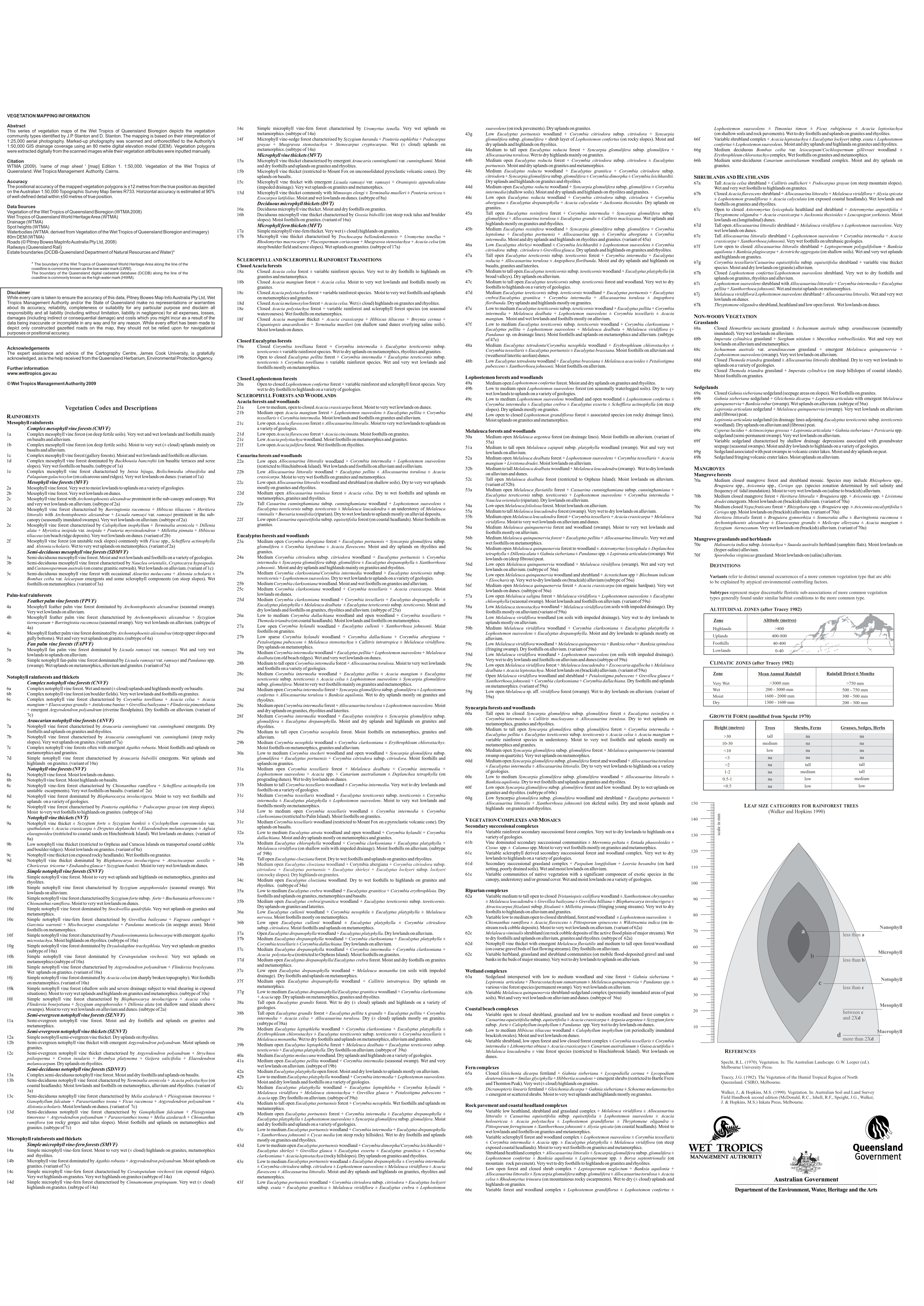
Wet Tropics Management Authority – Vegetation Maps
SOURCE: http://www.wettropics.gov.au/vegetation-maps.html