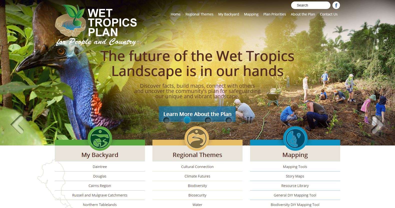
We are excited to announce the introduction of the Wet Tropics Plan for People and Country Portal (WTPPC Portal).
Our community groups have been given the opportunity to put our work into the awesome online Portal tool. This website can then be accessible by the general public so we can keep all our efforts to improve the World Heritage Wet Tropics Kuranda Region Corridor in one, easy accessible place.
KRPG will manage a portal that aims to incorporate the following mapping projects:
- Cultural Heritage Layer (private access)
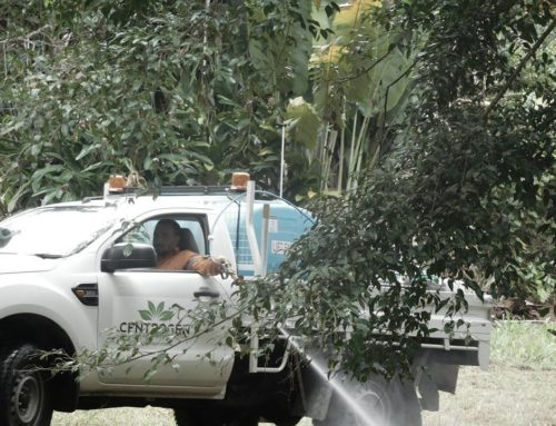
- Yellow Crazy Ant Layer (infestation and treatment areas over time)
- Endangered species contact zones
- Residential Re-vegetation Projects
- Endangered species habitat Layer including terrestrial and water habitats across the Kuranda Region
- Wildnet Cassowary Layer (from KCon datafeed)
- Investment Areas Layer for weed control, re-vegetation projects, etc
- World Heritage Wet Tropics Kuranda Region Corridor, incorporating existing Kuranda Envirolink and Fairyland Corridors and using data to properly map the land-water corridors
- Residential Conservation Covenants
- MSC Planning Scheme Mapping
The following ‘Story Maps’ will be developed for:
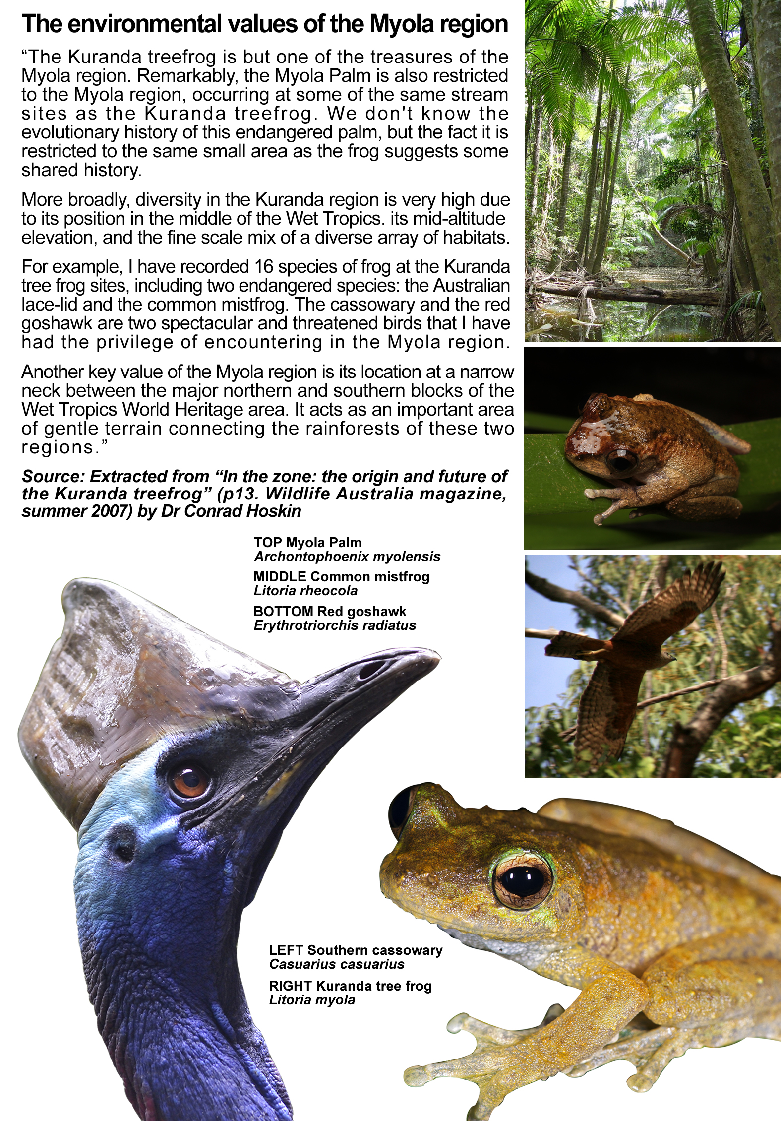
- Cassowary
- Kuranda Treefrog
- Mistfrog
- Northern Quoll
- Myola Palm
- History of the ecological impacts of colonialism on the Kuranda Region native forests and endangered species, ie. ‘Common Mistfrog’ is now called the ‘Mistfrog’ and is an endangered species in less than 100 years of settlement.