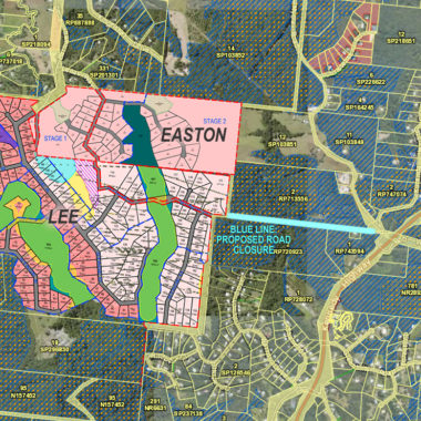
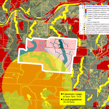
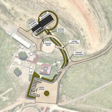
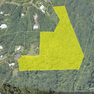
Applications to Mareeba Shire Council
To view all applications, visit this page on Mareeba Shire Council website.
To access Meeting Agendas and Minutes (where applications are dealt with), visit this page.
Latest version of the Mareeba Shire Council Planning Scheme, click here to open