SENT: 9 February 2017
The Honourable Jackie Trad MP
Deputy Premier, Minister for Infrastructure, Local Government and Planning and Minister for Trade and Investment
c/- State Interest Feedback
Planning Group
Department of Infrastructure, Local Government and Planning
PO Box 15009
CITY EAST QLD 4002
Sent via email to: planningpolicy@dilgp.qld.gov.au
Dear Deputy Premier,
Submission on draft revised State Planning Policy
About Kuranda Region Planning Group
In September 2015, Mareeba Shire Council published the latest draft of a new plan for the Shire, which includes the Kuranda region.
A community meeting was called in Kuranda on November 8th to discuss concerns about the latest draft plan.
The meeting resolved:
To set up a ‘Friends of the Kuranda Region Planning Group’ (n.b. name since changed to Kuranda Region Planning Group)
Please find our suggestion below in blue writing:
6. Planning for economic growth – including the state interests for agriculture, development and construction, mining and extractive resources and tourism (pages 25-33)
Protecting agricultural land focuses only on class A and class B land.
The protection should be extended to some other agricultural land currently in use even if it does not meet the criteria of class A and B land.
This is to insure local food security. It also reduces the pressure to create new agricultural land on land that is covered with remnant vegetation.
7.Planning for the environment and heritage – including the state interests for biodiversity, coastal environment, cultural heritage and water quality (pages 34-42)
Remove the word significant.
Replace the word considers with complies with.
Delete b.
So it reads:
State interest – biodiversity
1.Development is located in areas to avoid adverse impacts on matters of national environmental significance and complies with the requirements of the Environment Protection and Biodiversity Conservation Act 1999
3)
Development:
(a) is located in areas that avoid adverse impacts on matters of state environmental significance
The above changes will make environmental protection more meaningful and definite.
Also add enhance so it reads:
(4) Identified matters of local environmental significance are protected and enhanced.
(5) Ecological processes and connectivity are maintained and enhanced. Fragmentation of matters of environmental significance is avoided.
8.Planning for safety and resilience to hazards – including the state interests for emissions and hazardous activities and natural hazards, risk and resilience (pages 43-48)
State interest – natural hazards, risk and resilience
(2) A fit for purpose risk assessment is undertaken to identify and achieve an acceptable or tolerable level of risk for personal safety and property in natural hazard areas.
Add: Environmental protection must not be compromised. Where there is a conflict between matters of environmental significance and natural hazards development must not occur.
(4) Development in bushfire, flood, landslide and storm tide inundation natural hazard areas:
(a) avoids the natural hazard area;
or
(b) where it is not possible to avoid the natural hazard area, development mitigates the risks to people and property to an acceptable or tolerable level
Add: Environmental protection must not be compromised. Where there is a conflict between matters of environmental significance and natural hazards development must not occur.
Development assessment requirements – natural hazards, risk and resilience
All of the following requirements are assessment benchmarks for the development:
(1) Development avoids natural hazard areas, or where it is not possible to avoid the natural hazard area, development mitigates the risks to people and property to an acceptable or tolerable level.
Add: Environmental protection must not be compromised. Where there is a conflict between matters of environmental significance and natural hazards development must not occur.
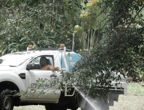
Example to warrant suggested changes: Often bushfire hazard areas overlap with remnant vegetation. In Koah QLD the remnant vegetation is largely made up by the EPBC listed endangered Broadleaf Tea Tree. To mitigate bushfire hazard, 20m wide perimeter fire breaks have to be put in according to Council. That can lead to damage of an endangered species or excessive clearing of otherwise protected remnant vegetation especially when reconfiguring a lot.
11.Appendix 1: SPP Interactive Mapping System (pages 70-73)
The MSES mapping does not include corridors to connect different protected areas or wildlife habitat areas.
This increases the risk of fragmentation and loss of species.
Thus an extensive network of wildlife corridors is urgently required to be included in the MSES mapping.
Yours sincerely
Nadine O’Brien
Kuranda Region Planning Group